
Learnthings Africa software installation project
Transkei
December 2009
Mishwell and I installed Learnthings and MS Encarta software at poor rural schools in the Transkei. We drove with my red Toyota Corolla across the Transkei, going off-road at times where off-roaders dare not go. We stayed at a guest house in Matatiele and drove around the area to rural schools to install software solutions at these schools who were sponsored by MTN with PC labs.
Towns and villages of note include Matatiele, Qhobosheaneng Village, Mt Fletcher, Mt Frere, Mt Ayliff, and Qumbu.
 |
| Transkei |
Photo highlights
 |
| Grazing sheep in remote mountains - Transkei |
About Transkei
The Transkei (meaning the area beyond [the river] Kei), officially the Republic of Transkei, was a Bantustan—an area set aside for members of a specific ethnicity—and nominal parliamentary democracy in the south-eastern region of South Africa. Its capital was Umtata, which was renamed Mthatha in 2004.
Transkei represented a significant precedent and historic turning point in South Africa's policy of apartheid and "separate development"; it was the first of four territories to be declared independent of South Africa. Throughout its existence, it remained an internationally unrecognized, diplomatically isolated, politically unstable de facto one-party state, which at one point broke relations with South Africa, the only country that acknowledged it as a legal entity. In 1994, it was reintegrated into its larger neighbor and became part of the Eastern Cape Province.
 |
| Mountain Huts |
 |
| Mountain scenery |
 |
| 'Bush Taxi' |
 |
| Kids playing next to an outhouse |
 |
| Public phone - Transkei mountains |
 |
| African toilets |
 |
| Old farmhouse |
 |
| Transkei hut |
 |
| Mt Ayliff |
 |
| Transkei hair salon - Mt Ayliff |
 |
| Rural Baby-Sitter |
 |
| African dog |
 |
| Rural scene |
 |
| Sheepherder & rainbow - Qhobosheaneng Village |
 |
| Mishwell - Qhobosheaneng Village |
 |
| Maluti |
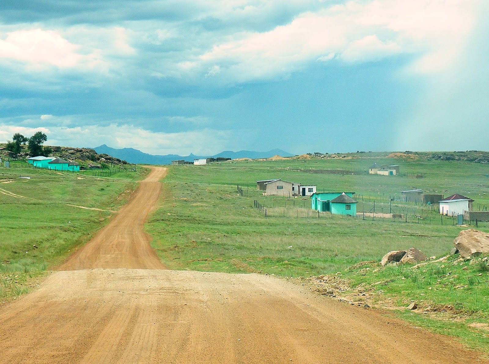
 |
| Dirt road - Transkei |
 |
| Rural scenery - Transkei |
 |
| Maluti |
 |
| Church on a hill - Maluti |
 |
| Polile Tshisa |